Museum
Store
PUBLICATIONS (click
on covers for larger views)
HISTORY
Each is 10×8 inches.
Available in soft or hard cover with premium glossy paper. Individually
printed for online ordering by Blurb Books.
 Center
Hill
Center
Hill
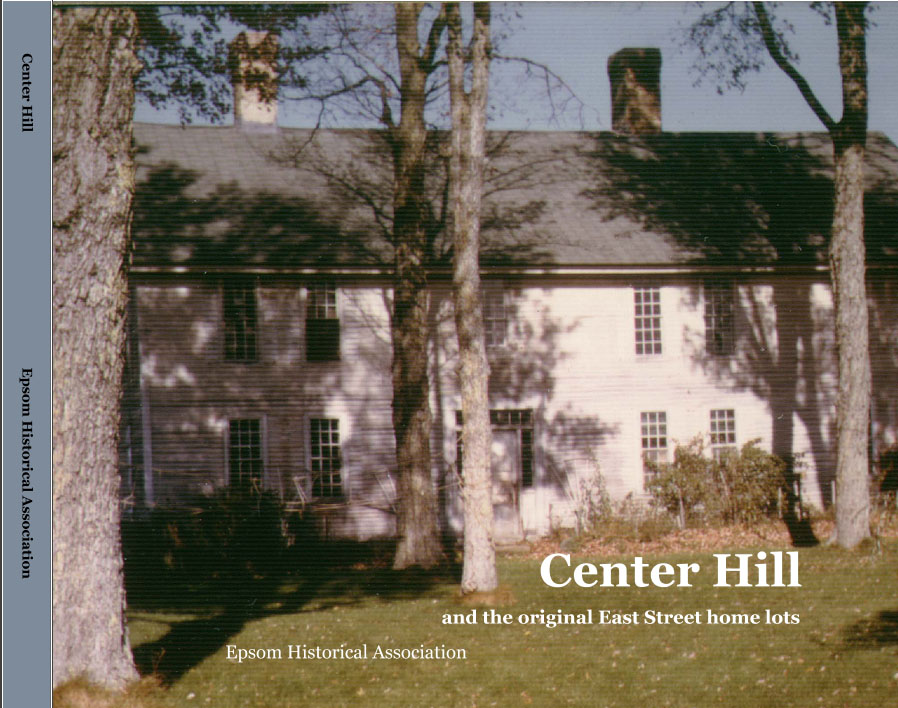
The road from the Deerfield
line to the old Epsom Meetinghouse was named East Street by the
proprietors. In later years it was also called Elm Street after
residents planted Elms along the road near the McClary Cemetery.
The area was where the first twenty families settled the original
20 home lots, and built their meetinghouse, school and parsonage.
The area also included a town pound and town common. The area had
several stores and taverns that accommodated travelers that where
heading inland from the coast. It became of lesser importance when
the First New Hampshire came through town, which was on less hilly
ground north of the old town center. The most notable family was
the McClary's, who owned much of the land and did well by their
mill operation. Later, Joseph Lawrence established himself as a
large land owner and store operator, preceded by Thomas D. Merrill.
Among other prominent families were Blake's, Locke's and Wallace's.
135 photos & images....148 pages....PREVIEW
(2015)
ALSO available in 13"
x 11" large format.... PREVIEW
(2017) Hardcover only.
 Marden's
Corner
Marden's
Corner
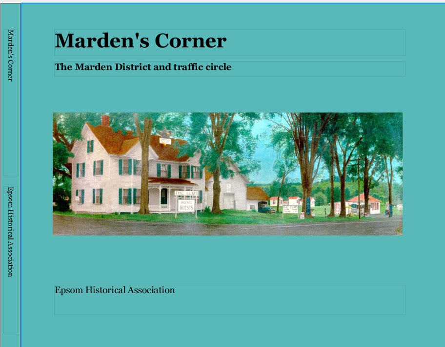
Marden's Corner was the
crossroad where the First New Hampshire Turnpike met the old Gilmanton
Road, running from Pembroke to Pittsfield. For nearly 150 years
it was populated by primarily three branches of Marden's, and the
corner was eventually replaced by a traffic circle located to the
east. Based on the families shown in the county maps of 1858 and
1892 on the roads leading to Marden's Corner. The book includes
information on most of the families and photos from the archives
of the Epsom Historical Association. 97 photos and images...104
pages....PREVIEW
(2015)
ALSO available in 13"
x 11" large format.... PREVIEW
(2017) Hardcover only.
 Short
Falls
Short
Falls
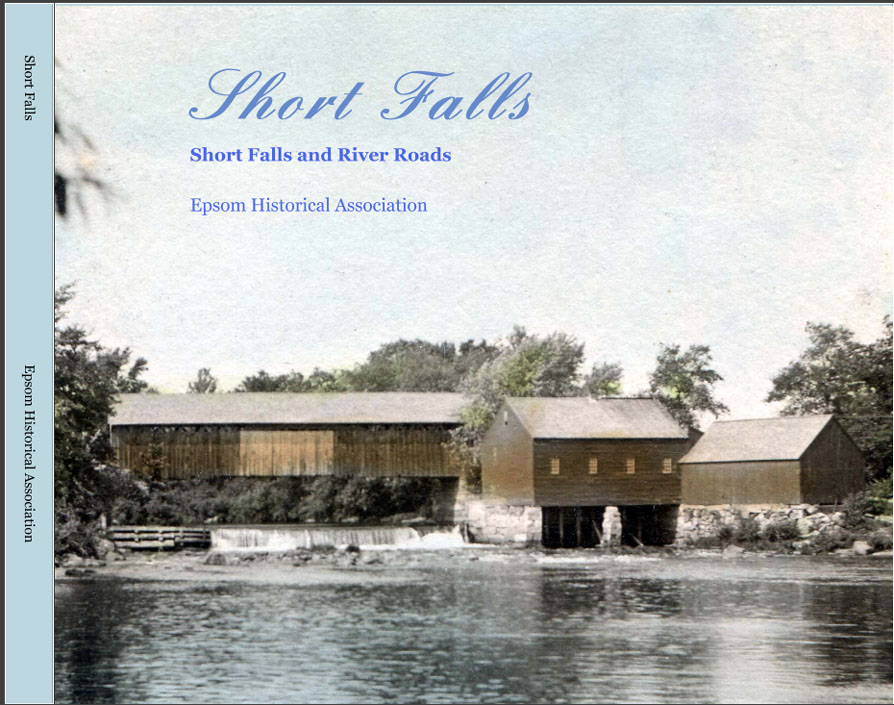
The town of Epsom voted
in 1778 to lay out two roads from Short Falls, one to Allenstown
(River Road) and one, including a bridge, near the short falls (Short
Falls Road). River Road would be populated primarily by Bickfords,
and the Short Falls Road by Tripps. Short Falls was a close knit
community and had a country store, creamery, function hall, railroad,
grist mill, school, cemetery, blacksmith and shoe shops. The opportunities
for employment saw the number of houses increase over the years,
but many of them began to disappear after 1900. The area included
parts of lot No. 7 in the second division owned by Thomas Critchett,
and from the third range, lots 83 to 74. One of the earliest settlers
was Nathaniel Kinneson at the four corners. 124 photos and images...112
pages....PREVIEW
(2015)
ALSO available in 13"
x 11" large format with 12 additional pages, 23 photos and
text with extended information on the Tripp family..... PREVIEW
(2017) Hardcover only.
 Fowler
District and Jug City
Fowler
District and Jug City
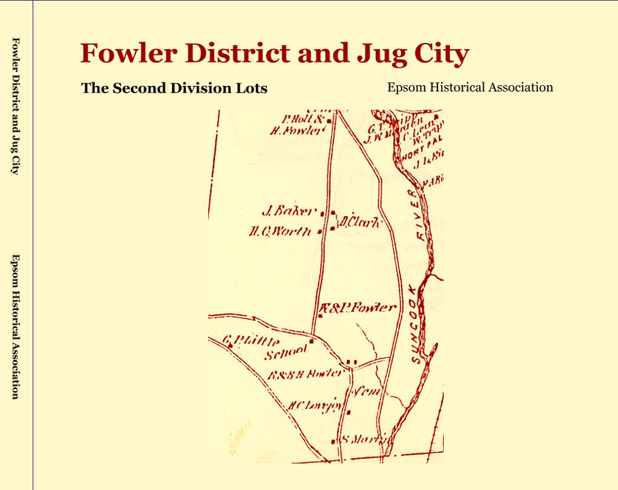
The first and second
ranges in the second division of lots in Epsom ran from the Pembroke
line north and included the Fowler District, Jug City Road, part
of Route 28 and a portion of Mill House Road. It was divided into
two ranges containing 20 lots, with the westerly side the first
range second division, and the easterly side the second range, second
division. Among the families that resided in the area were Martin,
Lovejoy, Fowler, Dolloff, Gordon and Burnham..74 images...73
pages....PREVIEW
(2015)
ALSO available in 13"
x 11" large format with 9 additional pages, 15 photos and text
with extended information on the Fowler family..... PREVIEW
(2017) Hardcover only.
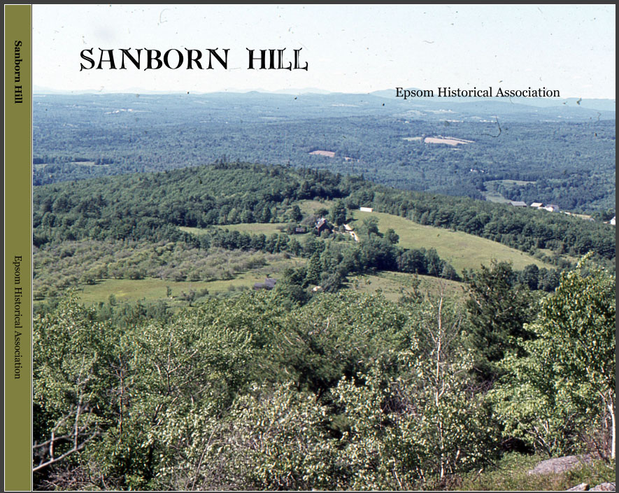
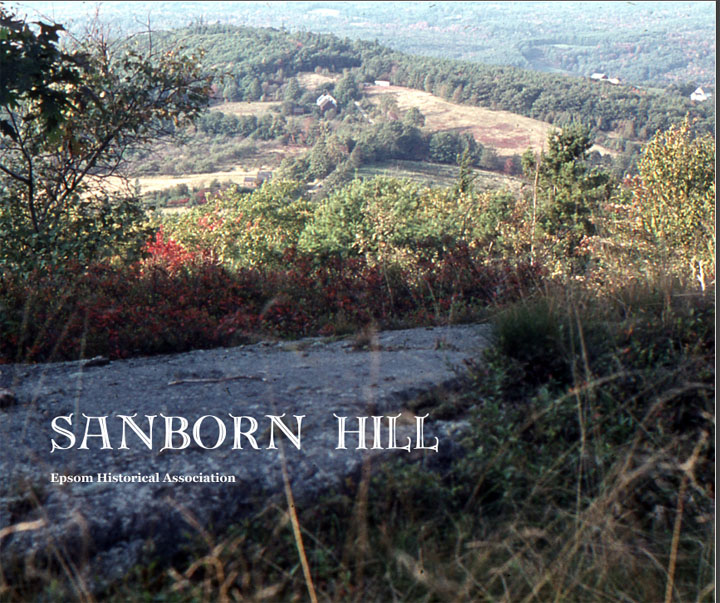
 Sanborn
Hill
Sanborn
Hill
At the time Charles McCoy
was living in Epsom there was a 'Suncook Road' leading over the
hill from Center Hill to Allenstown. This road is mentioned in deeds
as early as 1752, and it was in 1768 that the town laid out the
current road from Center Hill to New Rye. It was extended in 1772
'partly on the old way' through land of Levi Cass. Early deeds refer
to this road as simply 'the Hill Road' and later as Sanborn Hill
Road. The families that settled on the hill were the McCoy's, Sanborn's
and Sander's. Along with these families were Daniel Goss and Charles
Quimby, and at the foot of the hill, Samuel Blake. Samuel Blake
sold a couple small lots at the base of the road occupied by families
of Chesley, Weeks and Hall. The road is no longer a through road,
ending as it approaches New Rye.61 images...84 pages....PREVIEW
(2015)
 ALSO
available in 13" x 11" large format with new cover, 4
additional pages, photos and text.... PREVIEW
(2017) Hardcover only.
ALSO
available in 13" x 11" large format with new cover, 4
additional pages, photos and text.... PREVIEW
(2017) Hardcover only.
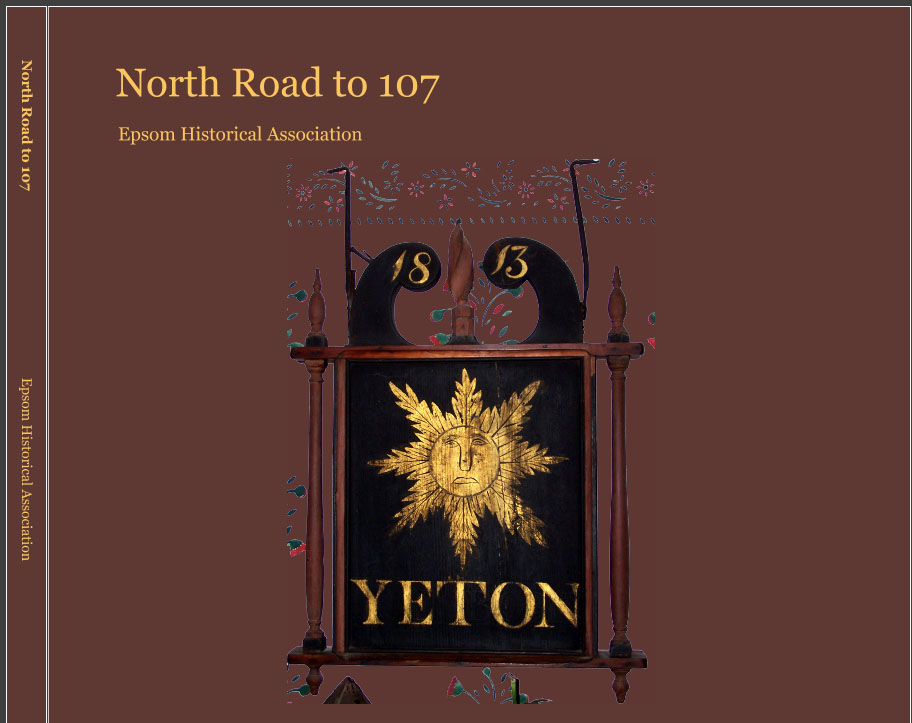
 North
Road to 107
North
Road to 107
North Road to 107
covers the families that occupied the northeastern part of Epsom
from Pittsfield south to Deerfield. This includes North Road to
the area of Lords Mill, down Route 107. The area was also home to
several lesser known Epsom families, including the Pettingills,
Emersons and McDaniels. The North Road was also where the First
New Hampshire Turnpike crossed through Epsom from Northwood to Chichester
and where toll gate number 4 stood. The Yeaton Tavern accommodated
travelers for many years. Other families later included several
lines of Brown's, and several families who were Quakers and associated
with the Friend's Meetinghouse in South Pittsfield. 44 images...66
pages....PREVIEW
(2015)
ALSO available in 13"
x 11" large format. PREVIEW
(2017) Hardcover only.
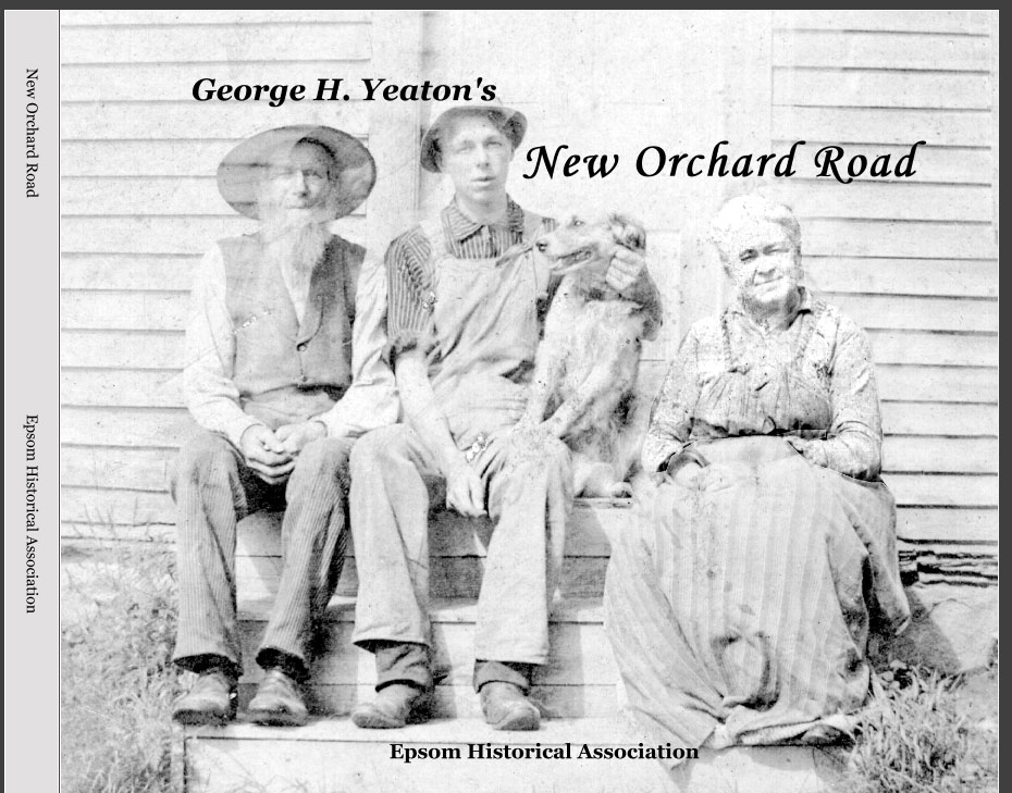
 New
Orchard Road
New
Orchard Road
George Hill Yeaton grew
up on New Orchard Road and later in life put to paper many stories
he remembered being told while growing up. He also recorded his
memories of the many families that inhabited the road, which are
the basis for this history of New Orchard Road. Also included is
an article he composed about life growing up on the family farm,
and a history of winter roads. Includes families from the 1858 and
1892 county maps with photos from the Historical Associations collection.
45 photos. 80 pages....PREVIEW
(2014)
ALSO available in 13"
x 11" large format. PREVIEW
(2017) Hardcover only.
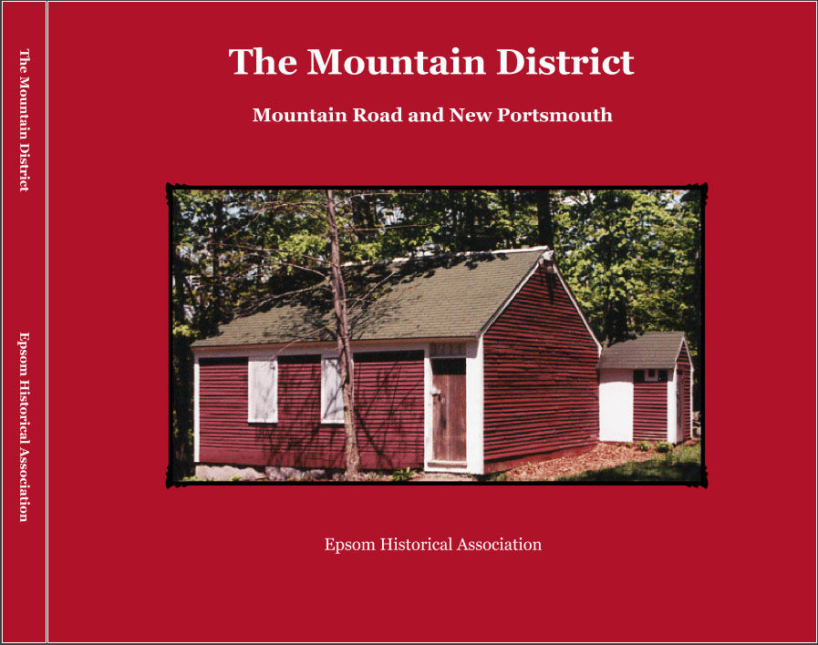
 The
Mountain District
The
Mountain District
The Mountain Road was
laid in 1784 by the town over a way already established to the land
of Samuel Moses, then on the range way to Allenstown. Starting at
the entrance to the Mountain Road on Center Hill, the area formerly
known as New Portsmouth, down to the Red Schoolhouse and the border
to Allenstown, the book takes a look at the various families and
their homes. Already settled by the Revolution were Ebenezer Brackett,
Ebenezer Wallace, Aaron Burbank, Nathaniel Payne, and Samuel Moses.
By the first census, they had been joined by Joel Ames, Jonathan
Bartlett, Joseph Dennett, David Dickey, and Jethro Libbey. 85 photos.
97 pages....PREVIEW
(2014)
ALSO available in 13"
x 11" large format... PREVIEW
(2017) Hardcover only.
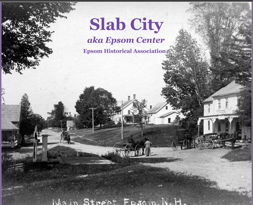
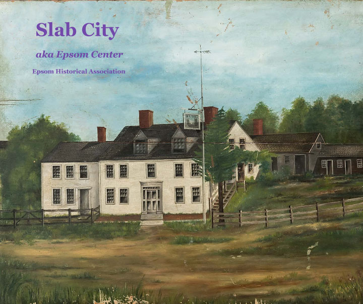
 Slab
City
Slab
City
Slab City lies just below
Center Hill and north of the Little Suncook River. Epsom by 1823
has 8 grist mills, 10 saw mills, 3 carding machines, three clothier's
shops and four bark mills, many of which were on the Little Suncook
River. With the first NH Turnpike running through Epsom and following
the river, the area was prime real estate from 1800 to the Civil
War. Mills were already established by 1750 and powered the early
settlements and home lots on Center Hill. 'Slab City' presents many
of the photos from the Epsom Historical Association, along with
descriptions of the families who settled and ran the area businesses.
93 photos - 100 pages....PREVIEW
(2014)
ALSO available in 13"
x 11" large format with new cover.... PREVIEW
(2017) Hardcover only.
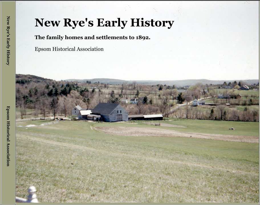
 New
Rye's Early History
New
Rye's Early History
New Rye's Early History,
the family homes and settlements to 1892, includes the original
owners and proprietor's and traces the families and home owners.
Based on the property owners as shown on the town and county map
of 1892, the genealogy of the familes and progression of owners
are given. Included are nearly 130 images from the Epsom Historical
Association. There is also a brief account of the ice cutting operation.
128 pages....PREVIEW
(2014)
ALSO available in 13"
x 11" large format with additional 4 pages and photos.... PREVIEW
(2017) Hardcover only.
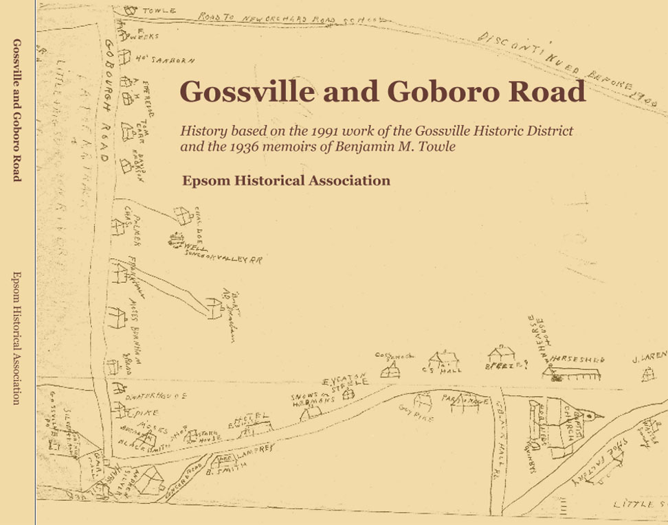
 Gossville
and Goboro Road
Gossville
and Goboro Road
This history of the village
of Gossville and Goboro Road is based primarily on two sources.
The first is the report of the 1991 Gossville Historic District.
The study included 39 primary contributing structures, one primary
site, 30 secondary contributing structures and 21 non contributing
structures. The Gossville bounds start with the Bickford homestead
on the east end and following west on Route 4 to the old Suncook
Railroad bed, then north to the Sherburne Road. The second source
are notes made by Benjamin M. Towle in 1936 of his recollections
of the homes and families living on Goboro Road. The two studies
overlap, with Mr. Towle's notes extending from the west end of Gossville,
up Goboro Road, to the Chichester town line. Includes information
on the early history, families and residents. The book contains
over 130 images from the Epsom Historical Associations archives.
134 pages....PREVIEW
(2014)
ALSO available in 13"
x 11" large format. PREVIEW
(2017) Hardcover only.
 Black
Hall Road
Black
Hall Road
Black Hall Road - A history
based on the memoirs of Benjamin M. Towle recounting the houses
and inhabitants in 1936. A full history of the road includes information
from deeds, census and other records, and highlights the early families
of Wallace, Towle and Yeaton. Includes 93 photos and images. 86
pages...PREVIEW
(2013)
ALSO available in 13"
x 11" large format. Added 28 photos and 16 pages, with added
information on the Towle family and the lace factory...PREVIEW
(2017) Hardcover only.
 Epsom's
One Room Schools
Epsom's
One Room Schools
Epsom's One Rooms Schools
- Information on the early Epsom Schools taken from various town
records. Several years in the making, the book narrative details
the early history and follows with information on each school district.
Included are almost all the school building and class photos from
the Historical Associations archives. 93 photos and images...136
pages....PREVIEW
(2013)
ALSO available in 13"
x 11" large format....PREVIEW
(2017) Hardcover only.
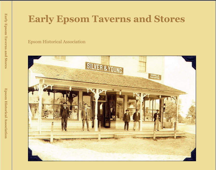
 Early Epsom Taverns and Stores
Gleaned from licenses
granted from the town taken from provincial and town records through
1827. Brief discussion of owners and locations. 80 pages..
PREVIEW
(2012)
ALSO available in 13"
x 11" large format, 82 pages with new contents....PREVIEW
(2018) Hardcover only.
 McClary
Photo book includes pictures
of the McClary house from the archives of the Epsom Historical Association.
The 40 page book includes quotes written about the house
through the years, as well a brief account of the McClary family.
PREVIEW
(2010)
 Historic Meetinghouse
Photo book includes pictures
of the old meetinghouse, formerly the Free Will Baptist Church.
The 40 page book also includes a history of the building,
including its moving to its new location. Based on a lecture presented
by the Epsom Historical Association.. PREVIEW
(2010)
ALSO available in 13"
x 11" large format, 68 photos and images with an additional
10 pages added from the original.....PREVIEW
(2017) Hardcover only.
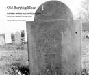 Old Burying Place
A 50 page book
on the history of the McClary Cemetery and early settlement of Center
Hill. The burial place likely predates 1761, though that is the
year the first burial is noted. The area was the focal point of
early town affairs, with the Meetinghouse, first school and parsonage
all nearby. PREVIEW
(2010)
 East Street, Road to Settling Epsom, NH
A history of Epsom, NH
Part 1, "East Street, Road to Settling Epsom, NH" recalls
the founding of the town based on the first 20 families settling
their 50 acre home lots. First presented as a commemorative booklet
to accompany a tour of Center Hill as part of the 275th anniversary
of the incorporation on Old Home Day August. 10, 2002. 62 pages.
70 pages. PREVIEW
(2010)
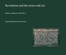 Revolution
and the stone wall era
Revolution
and the stone wall era
A history of Epsom, NH
Part 2, "Revolution and the stone wall era" takes the
history of the town from before the Revolution through 1820, the
era known as the height of stone wall building in New England. Based
on a lecture given for the Epsom Public Library. 84 pages.
PREVIEW
(2010)
CEMETERY
PHOTOS & INSCRIPTIONS (click
on covers for larger view)
Each is 13×11 inches.
Available in hard cover only with premium glossy paper.
 Old
Epsom Family Cemeteries
Old
Epsom Family Cemeteries
Large
13×11 inches. Photo
book of gravestones and the inscriptions from the old family cemeteries
in Epsom, NH. The over 100 page book includes an alphabetical
index and list of veterans. The book is the result of a project
by the Epsom Historical Association to photograph all the gravestones
prior 1940. PREVIEW
(2010)
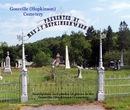 Gossville
(Hopkinson) Cemetery Inscriptions and Photos
Gossville
(Hopkinson) Cemetery Inscriptions and Photos
Large
13×11 inches. Photo
book of gravestones and the inscriptions from the Gossville (Hopkinson)
Cemetery in Epsom, NH. The book contains 55 pages and includes
an alphabetical index and list of veterans. Also included are photos
of some of the veterans from the archives of the Epsom Historical
Association. The book is the result of a project by the Epsom Historical
Association to photograph all the gravestones prior 1940 in Epsom.
PREVIEW
(2010)
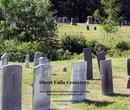 Short
Falls Cemetery Inscriptions and Photos
Short
Falls Cemetery Inscriptions and Photos
Large
13×11 inches. Photos
and inscriptions from the Epsom Cemetery, also known as Short Falls
Cemetery. The photos are the result of a project to preserve in
pictures, gravestones in Epsom prior to 1940. Includes name index
and listing of veterans. 49 pages.
PREVIEW (2010)
 McClary
Cemetery Inscriptions and Photos
McClary
Cemetery Inscriptions and Photos
Large
13×11 inches. Photos
and inscriptions from the oldest burying ground in Epsom, the McClary
Cemetery. The photos are the result of a project to preserve in
pictures, gravestones in Epsom prior to 1940. Includes name index
and listing of veterans. 80 pages. PREVIEW
(2010)
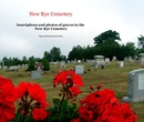 New
Rye Cemetery Inscriptions and Photos
New
Rye Cemetery Inscriptions and Photos
Large
13×11 inches. Photos
and inscriptions from the New Rye Cemetery, maintained by the New
Rye Church. The photos are the result of a project to preserve in
pictures, gravestones in Epsom prior to 1940. Includes name index
and listing of veterans. 46 pages. PREVIEW
(2010)
Other
books you might enjoy ...
(click
on covers for larger view)
 Towle Roads
10×8 inches. Available
in soft or hard cover with premium glossy paper. Originally privately
made for the Rand family of Epsom, it features photos of individuals,
places of burial, and genealogy of families including Fowler, Rand,
Babb, Sanborn and Towle. 40 pages. PREVIEW
(2010)
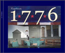 Compliments,
1776
Compliments,
1776
Large
13×11 inches. Available in hard cover only with premium glossy
paper. 120
pages. 500 photos document the making of the musical "1776"
by a local theatre group. From the smallest prop, to costumes, creating
the set, characters, rehearsals and more. PREVIEW
(2010)
Also available
in a smaller size 10x8, soft or hard cover with premium glossy paper.
- PREVIEW
(2016)
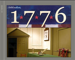 Addendum,
1776
Addendum,
1776
Large
13×11 inches.
Available in hard cover only with premium glossy paper. 120
pages. 307 additional photos document the making of the musical
"1776" by a local theatre group. Features the cast from
auditions to production.. PREVIEW
(2010)
Also available
in a smaller size 10x8, soft or hard cover with premium glossy paper.
- PREVIEW
(2016) NEW
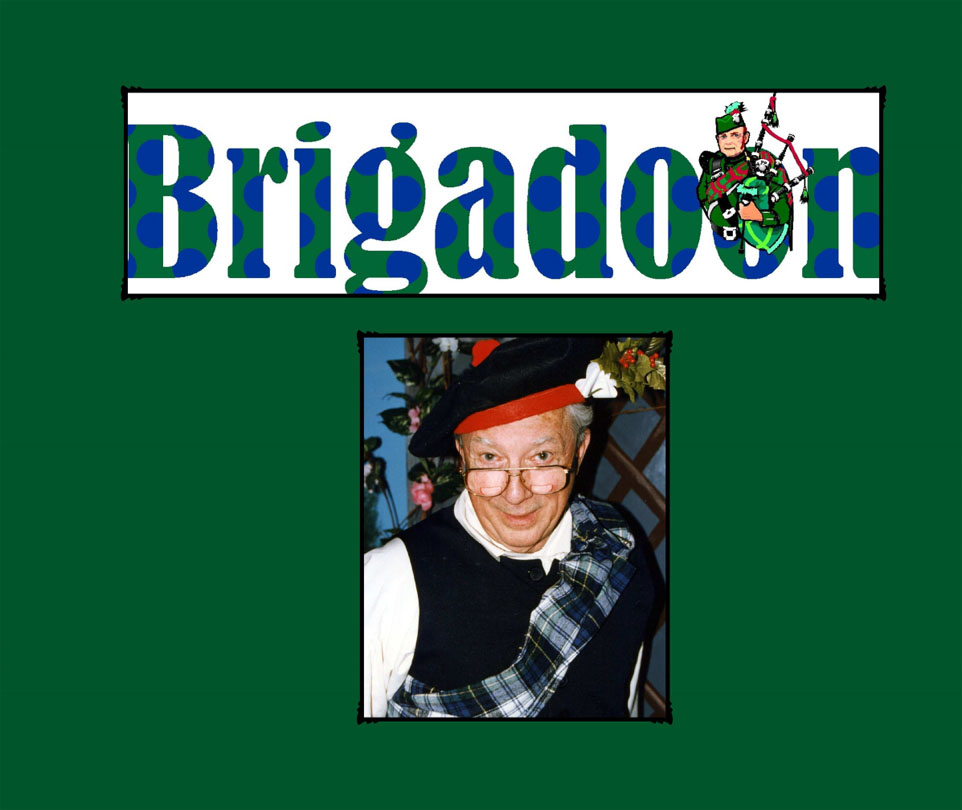
 Brigadoon NEW
Large
13×11 inches.
Available in hard cover only with premium glossy paper. 192 photos,
90 pages. Rehearsal
and production photos of a 1996 local production. PREVIEW
(2016)
Also available
in a smaller size 10x8, soft or hard cover with premium glossy paper.
- PREVIEW
(2016)
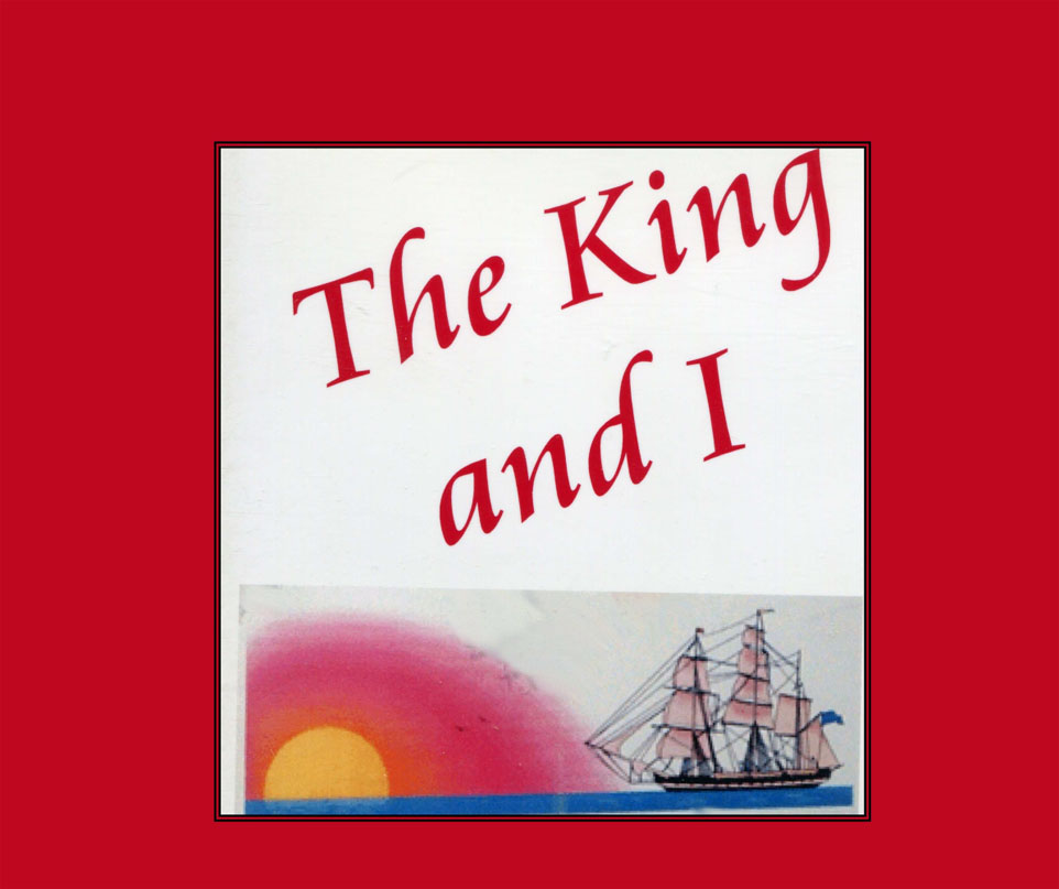
 The
King and I NEW
The
King and I NEW
Large
13×11 inches.
Available in hard cover only with premium glossy paper. 203
photos, 74
pages. Rehearsal and production photos of a 1995 local production.
PREVIEW
(2016)
Also available
in a smaller size 10x8, soft or hard cover with premium glossy paper.
- PREVIEW
(2016)
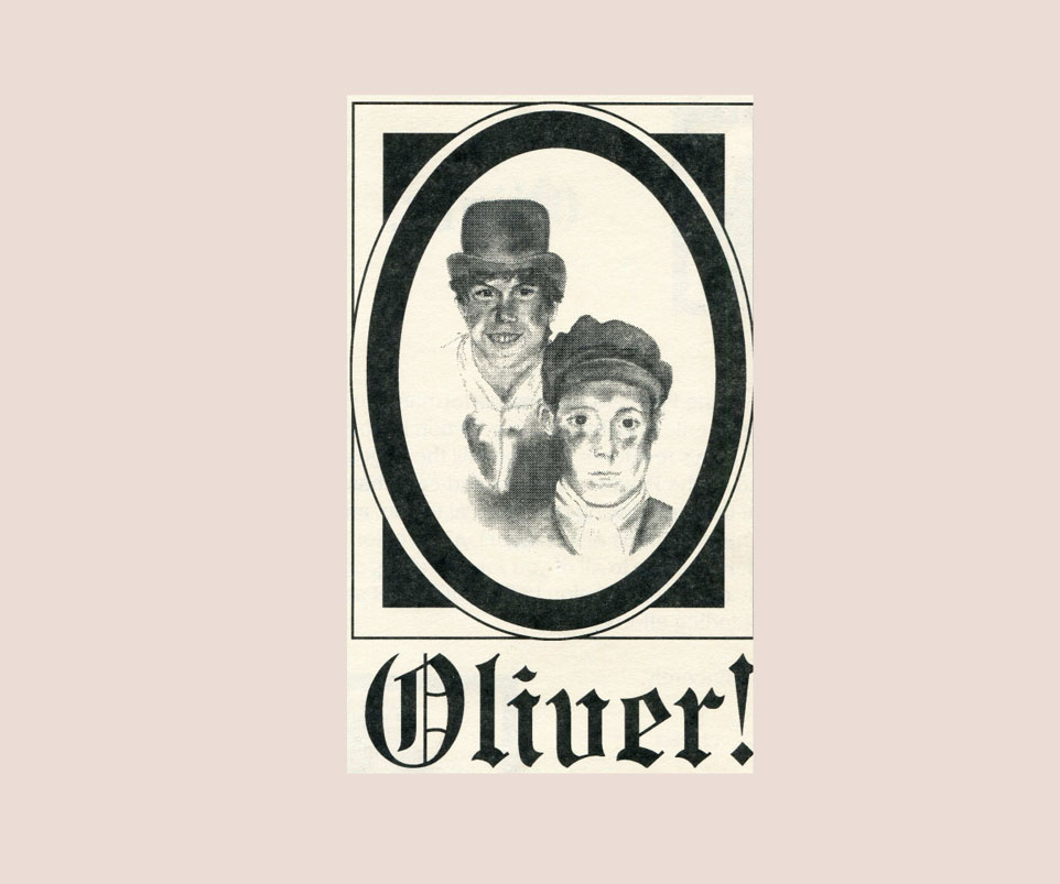
 Oliver!
NEW
Oliver!
NEW
Large
13x11 inches. Available
in hard cover only with premium glossy paper. 277 photos, 88
pages. Rehearsal and production photos of a 1994 local production.
PREVIEW
(2016)
Also available
in a smaller size 10x8, soft or hard cover with premium glossy paper.
- PREVIEW (2016)
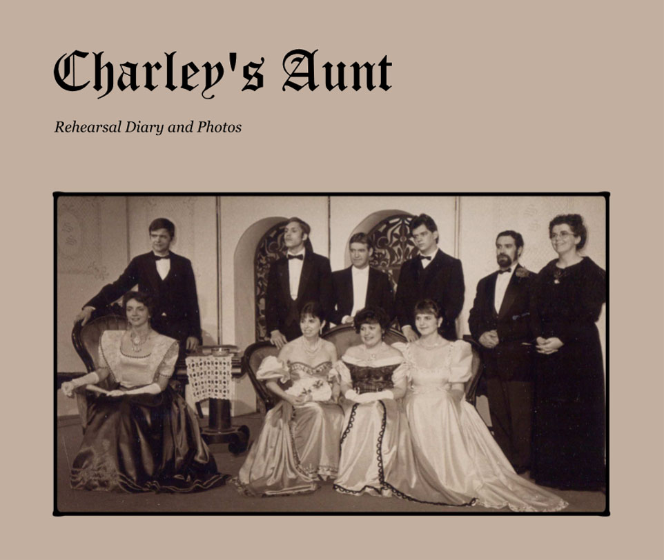
 Charley's
Aunt NEW
Charley's
Aunt NEW
Large
13x11 inches. Available
in hard cover only with premium glossy paper. 143 photos, 54
pages. Rehearsal and production photos of a 1986 local production.
PREVIEW
(2016)
Also
available in
a smaller size 10×8, hard or soft cover with premium
glossy paper. - PREVIEW
(2016)

 ""Kitchen
Memories"
features submitted and other recipes along with related historical
photos from the Association's digital archives, with some old
remedies from various sources. Complete with a helpful index,
the book is divided into seven catagories: Appetizers & Dips:
Breakfast, Brunch and Breads; Cookies and Bars; Desserts; Main
Dishes and Caseroles; Salads, Sides, Soups and Stews; and finally,
This & That. Cost of "Kitchen Memories" is $14.95.
Order
online with this form or
purchase a copy at the Museum.
""Kitchen
Memories"
features submitted and other recipes along with related historical
photos from the Association's digital archives, with some old
remedies from various sources. Complete with a helpful index,
the book is divided into seven catagories: Appetizers & Dips:
Breakfast, Brunch and Breads; Cookies and Bars; Desserts; Main
Dishes and Caseroles; Salads, Sides, Soups and Stews; and finally,
This & That. Cost of "Kitchen Memories" is $14.95.
Order
online with this form or
purchase a copy at the Museum.